


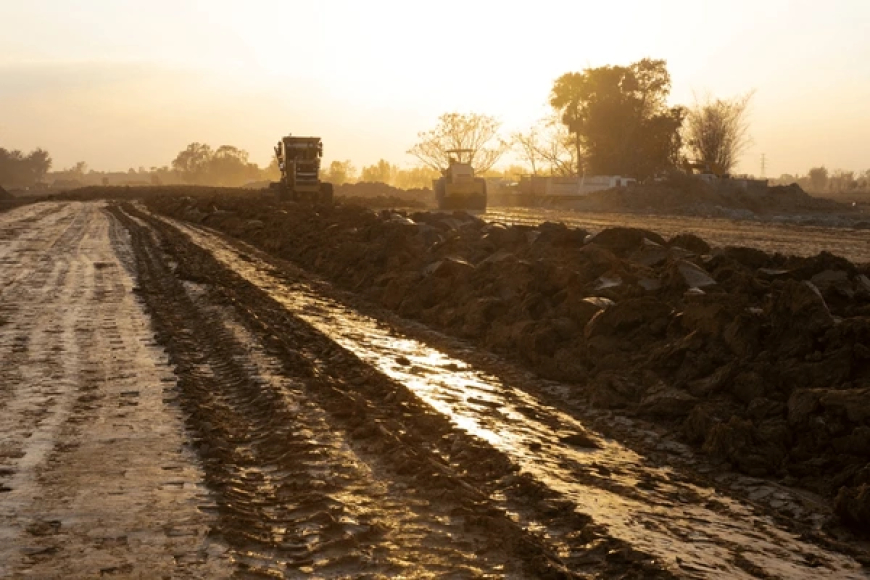
Canal Digging Program and Its Sustainability
If canals worth thousands of crores of taka are excavated but become filled up or abandoned within a few years, the country will suffer irreparable losses, which would go against the intentions of our policymakers.
Canal excavation is very important in Bangladesh because it helps maintain an equilibrium between surface water and groundwater.
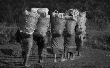
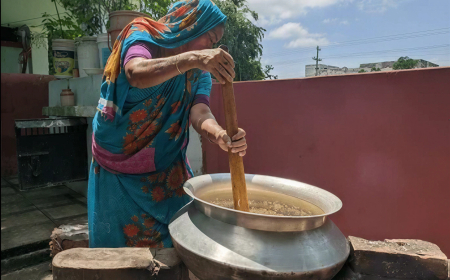
Farmers can obtain water for cultivation from these canals during the dry season. However, even such a good initiative may fail if scientific information about the geographical conditions of the areas where canals are being excavated is not incorporated into the planning process.
Geo-scientific information of an area includes its geological conditions, the rate at which the land is subsiding or uplifting every year (ground subsidence and uplift), the nature of its connections with surrounding rivers, water flow characteristics, and tidal information (whether tides occur and, if so, their nature).
The assessment should also include information on what may happen during floods. If decisions regarding canal excavation are made after properly analyzing the above factors, it can be assumed that the canals will remain stable and sustainable.
Since most roads in South Bengal run in an east-west direction, they often act as embankments, obstructing the natural flow of floodwaters into rivers and thereby causing severe waterlogging in many areas. For this reason, it is important to carry out advance modelling to predict the possible flood situation after canal excavation projects are undertaken in South Bengal.
If canals worth thousands of crores of taka are excavated but become filled up or abandoned within a few years, the country will suffer irreparable losses, which would go against the intentions of our policymakers. However, if proper geo-scientific analyses are conducted beforehand at a relatively small cost, the projects can become sustainable in the long term.
Bangladesh already has many government and private organizations capable of collecting and analyzing the necessary scientific information and data required for such projects.
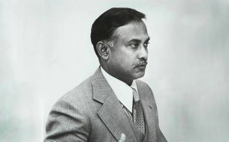
Sirajur Rahman Khan is the Director General (Retd), Geological Survey of Bangladesh, and Ex-Professor of the Department of Oceanography, University of Dhaka.
Sirajur Rahman Khan is the Director General (Retd), Geological Survey of Bangladesh, and Ex-Professor of the Department of Oceanography, University of Dhaka.
What's Your Reaction?